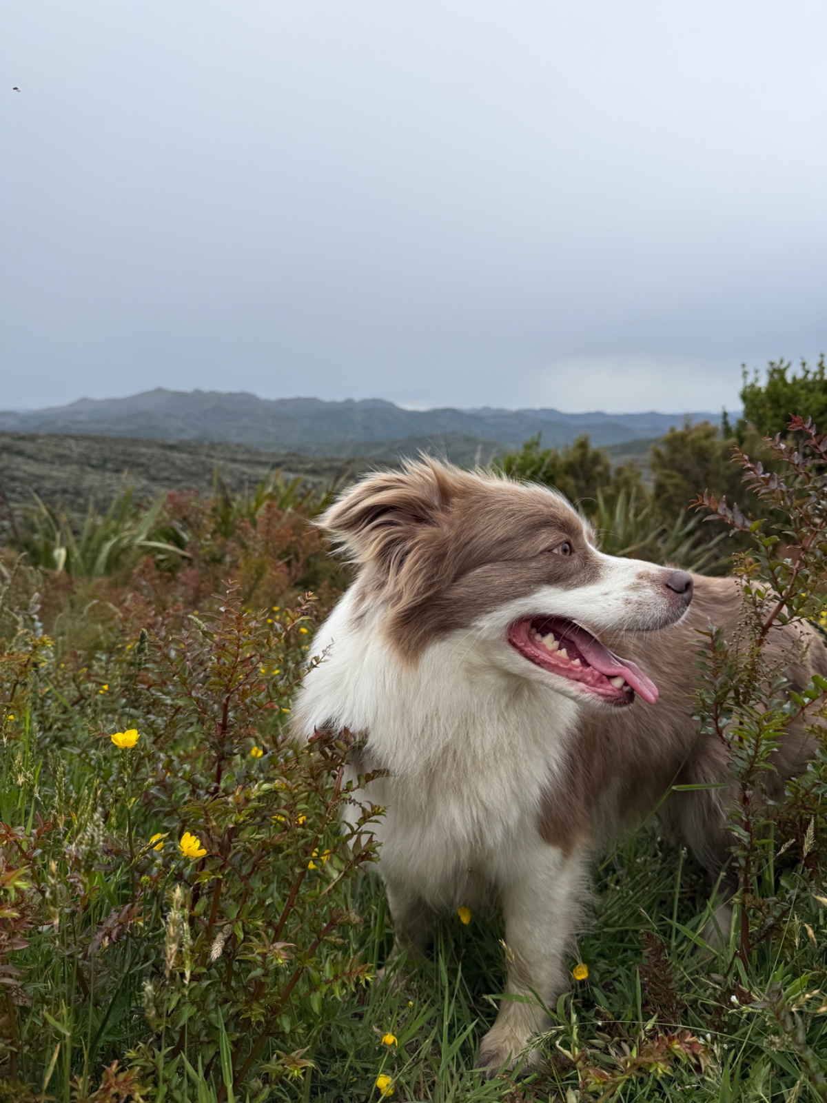
Burns, Pipeline and Rustlers Ridge Loop
Dunedin · Otago · Loop
This walk was suggested by the community and checked against the authority quoted above before it was published. The route line comes from official track data. Dunedin City Council’s own wording: “Two rule setters share this loop. Dunedin City Council's Dog Control Policy 2024, Schedule C, lists the “Flagstaff track network that is managed by the Dunedin City Council - from Leith Valley (to the east) to Silverstream (to the west) and Green Ridge (to the north)” as an off leash area, which covers the Burns and Pipeline legs. About 717 m of the Rustlers Ridge leg runs inside Silverpeaks Scenic Reserve (DOC, conservation unit I44039), checked against DOC's own Public Conservation Land layer on 27 August 2026. DOC publishes no dogs allowed rule for that reserve, and its dog access page says plainly that “some allow dogs, some need a permit, and some don't allow dogs at all”, so a dog on that stretch needs DOC's written approval. Restrict fast: the whole loop is marked permit”. Evidence: the rule-setter’s own published wording. How we check dog rules.
Good to know
A DOC dog permit is required before any dog walks here. Apply to the managing DOC office ahead of time; do not turn up with the dog first.
Opens your email app, addressed to [email protected]. You can also call DOC on 0800 275 362.
About Burns, Pipeline and Rustlers Ridge Loop
Near Dunedin in Otago, Burns, Pipeline and Rustlers Ridge Loop runs 6.1 km as a loop.
A 6.2 km circuit on the Leith Valley side of the Flagstaff network, and one of the better short loops close to Dunedin. Amber and Roo put it in and called it about 6.5 km, which is as near as makes no difference to the 6.21 km we measure off the mapped line. Start from the Pipeline Track at the Mountain Road end, follow it up to the Rustlers Ridge junction, turn back east along Rustlers Ridge to the four way intersection, then drop down Burns Track to rejoin the Pipeline and finish on the same 600 m of track you started on. Amber's warning is the one worth repeating: it is very muddy in places. This is Leith Valley bush and tussock on ground that holds water, so boots rather than trainers, and expect the Rustlers Ridge section to be the worst of it after rain. The dog rule is split and it matters. Burns and Pipeline sit inside the council managed Flagstaff track network, which Dunedin City Council's Dog Control Policy 2024 lists as an off leash area. Rustlers Ridge does not stay on council land the whole way: about 717 m of it, in several short stretches between roughly 170.5108 and 170.4972 east, runs inside Silverpeaks Scenic Reserve, which is DOC's. DOC does not publish a dogs allowed rule for that reserve, so taking a dog through needs DOC's written approval from the Dunedin office. Walk the full loop only with that permit. Without one, the honest version of this walk is Pipeline and Burns as an out and back, turning around before Rustlers Ridge crosses the boundary. At the four way intersection you can carry on rather than turning for home. Rustlers Ridge keeps climbing west to Swampy Summit, and the Swampy Ridge route runs on into the Silverpeaks. Both of those go further into the scenic reserve, so the same permit rule applies and then some, and both are a much bigger day than this loop.
Expect moderate going, with around 260 m of climb, and takes about 1 hr 39 to walk.
A DOC dog permit is required before any dog walks here. Arrange it with the managing DOC office ahead of your trip. This walk is on the map because Amber & Roo suggested it, and we checked it against the source above.