Saddle Hill Summit Track
Little River · Canterbury
This walk was suggested by the community and checked against the authority quoted above before it was published. The route line comes from official track data. DOC’s own wording: “Dogs allowed. Keep dog under control at all times. Dogs are allowed on the track - the onsite sign is currently incorrect. (Department of Conservation, Saddle Hill Summit Track: the Dog access and Seasonal restrictions panels.)”. Evidence: the rule-setter’s own published wording. How we check dog rules.
Good to know
Dogs are allowed here. Watch for ground-nesting birds and stock, and read the signs at the gate.
About Saddle Hill Summit Track
Saddle Hill Summit Track covers 1.5 km, near Little River in Canterbury.
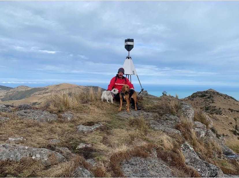
A DOC scenic reserve on Banks Peninsula where the sign on the ground and the rule on the page disagree, and it is worth knowing which one is right before you drive in. DOC states that dogs are allowed here and keeps a second note on the same page saying, in DOC’s own words, that the onsite sign is currently incorrect. So pull the DOC page up on your phone before you leave the tarseal: there is a no dogs sign at the stile, and DOC has said in writing that it is out of date. Beyond that the track climbs steadily from Bossu Road to the trig on the summit of Saddle Hill, or Puaitaha, about 1.6 km each way. Treat it as roughly 3.1 km return and about 90 minutes; DOC’s own label reads 1.6 km return, but that is the one way figure. The top gives Akaroa Harbour on one side and the Southern Alps, Te Waihora and Kaitorete on the other. Those last two are a view and only that: the spit is nationally significant dotterel and wrybill habitat and is not anywhere to take a dog. Getting there is half the walk. From Okuti Valley follow Reynolds Valley Road for 6.8 km, then turn left onto Bossu Road for 400 m to the entrance, where there is room for about five cars. DOC describes Reynolds Valley Road as windy, exposed, narrow and made from gravel, and warns that winter conditions may make it impassable. The walk starts over the fence stile by the old sheep yards, so think about that first if your dog is large or heavy, because somebody is going to have to lift them over it. Carry water for the dog: DOC says there is no water supply on the track, and this is an exposed tussock and regenerating bush climb with nothing to drink from. DOC also warns the track is high and very exposed with very changeable weather, and that there is rocky terrain and steep drop-offs near the summit. No lead is required, but the reserve is unfenced and open grazing country runs right up to it, so under control is doing real work on this one and the top is a place to keep the dog in close. This is conservation land DOC has chosen to keep open to dogs, which is not a given, so walk it well.
Graded moderate, it climbs about 157 m overall, and takes about 34 min to walk.
Dogs are welcome here. This walk is on the map because Lisa & Ruby suggested it, and we checked it against the source above.