Tobins Track
Arrowtown · Otago
This walk was suggested by the community and checked against the authority quoted above before it was published. The route line comes from official track data. The rule-setter’s own wording: “Queenstown Lakes District Council sets the rule for its own tracks in one line of its Dog Control Policy 2020: "QLDC has determined that all tracks and reserves (except those listed below) within the control of QLDC are dog exercise areas." The eight exceptions the policy names are Queenstown Gardens, Marine Parade, Marine Parade Reserve, Queenstown Bay, Queenstown Hill Reserve and Queenstown Hill Walkway, Bremner Bay, Matakauri Park and Earnslaw Park. Tobins Track is not one of them, and QLDC's own tracks asset register confirms the ownership the policy turns on: the track is recorded as QLDC Parks owned, running up from the Arrow River Bridges Trail at Arrowtown. Section 12 finishes the job: "Every owner of a dog shall keep that dog on a leash in public areas at all times except within the Rural General Zone or in a dog exercise area. However, where any playground or cemetery is located in a Rural General Zone or dog exercise area, dogs must still be leashed." So the lead can come off here, and goes back on at any playground. (Queenstown Lakes District Council, Dog Control Policy 2020, sections 11 and 12, read 31 August 2026.)”. Evidence: a hand-checked correction against the authority. How we check dog rules.
Good to know
Dogs are allowed here. Watch for ground-nesting birds and stock, and read the signs at the gate.
About Tobins Track
Near Arrowtown in Otago, Tobins Track runs 2.3 km.
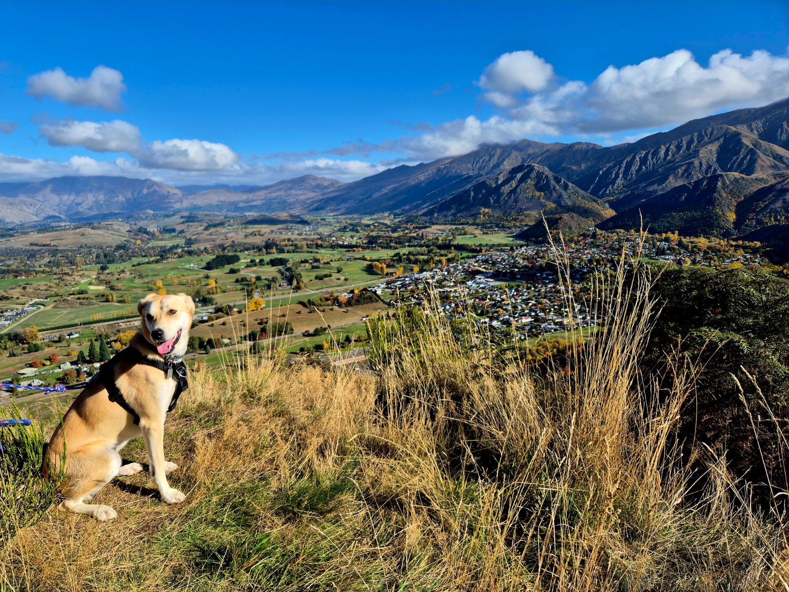
A steady climb on a formed 4WD track from the Arrow River at the edge of Arrowtown up onto the Crown Terrace, 2.3 km of honest uphill with Arrowtown and the Wakatipu basin opening out behind you. Start at the footbridge over the Arrow River and follow the track up to where it meets Glencoe Road on the terrace. The leash rule here is not a park rule. The whole corridor is legal road, mapped as Road Zone in QLDC's Operative District Plan and recorded by LINZ as council-managed formed road parcels, so the Dog Control Bylaw requirement to keep a dog on a leash in any other public place applies from the river to the top. The paddocks either side sit in the Rural General Zone, the one place the bylaw lifts that requirement, but they are grazed private farmland rather than anywhere to let a dog run, so stay on the road corridor and keep the lead on. Vehicles use the track to reach the terrace, and the Arrow River marginal strip at the bottom is DOC conservation land with its own dog rules. Worth knowing where the lead goes back on. The council's off-lead determination covers the track, not a playground beside it, and the policy's own proviso in section 12 keeps dogs leashed at any playground or cemetery inside a dog exercise area. Off lead here still means under control: this is shared ground with walkers, riders and stock on the fringes, and lake edges and river margins carry nesting birds through spring.
Graded moderate, it climbs about 256 m overall, and takes about 53 min to walk.
Dogs are welcome here. This walk is on the map because Lisa & Ruby suggested it, and we checked it against the source above.