Brow Peak Route
Arrowtown · Otago
This walk was suggested by the community and checked against the authority quoted above before it was published. The route line comes from official track data. The rule-setter’s own wording: “Dogs are welcome but must be kept under control at all times. (The Queen Elizabeth II National Trust's current wording for the Mahu Whenua covenants, and the Trust is this walkway's controlling authority, appointed in the 2022 gazette notice that declared it. The line we map here, Big Hill Saddle to the summit and back, sits entirely on covenant land; the continuation west to the Coronet Peak Ski Area crosses a DOC reserve and is a different story, told below.)”. Evidence: the rule-setter’s own published wording. How we check dog rules.
Good to know
Dogs are allowed here. Watch for ground-nesting birds and stock, and read the signs at the gate.
About Brow Peak Route
This long walk follows 6.2 km, near Arrowtown in Otago.
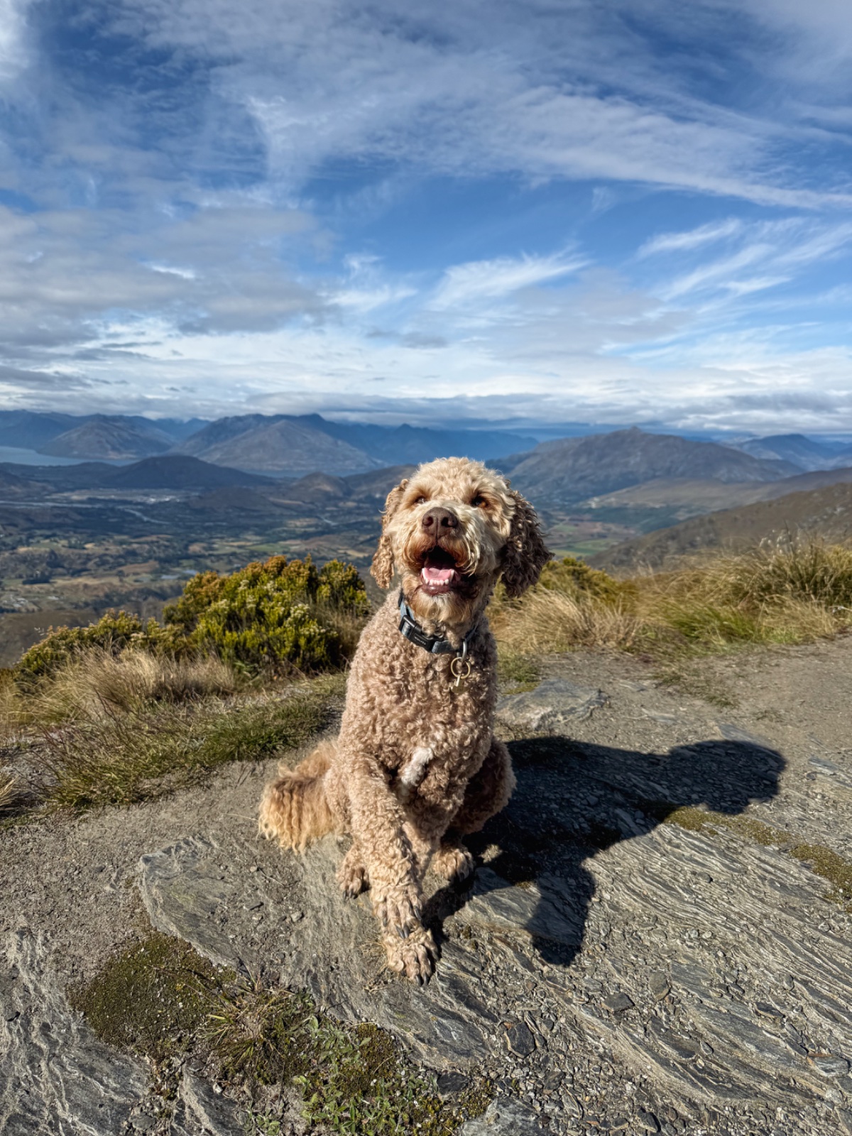
Brow Peak at 1456 m is the high point of the Mahu Whenua covenant tracks behind Arrowtown, and this page maps the dog-legal way up: from Big Hill Saddle along the poled ridge to the summit and back, about 3.3 km each way. You reach the saddle on foot from Arrowtown up the Big Hill Walkway, a solid climb in its own right, so the summit is a full day from town. This is a poled route, not a formed track: exposed alpine ground, unformed underfoot, graded advanced by the QEII National Trust, which allows about an hour and a half between the saddle and the summit one way. Bring navigation skills, weather sense and water, and save it for a clear summer day. Every step of this line is a declared walkway across the Mahu Whenua covenants, with the QEII National Trust as its controlling authority, and the Trust's own page welcomes dogs kept under control at all times, the same wording that opens Sawpit Gully and Big Hill next door. The poled route does carry on west from the summit down to the Coronet Peak Ski Area, but that leg crosses the Coronet Peak Recreation Reserve, and we have now had this confirmed by DOC. We asked the Queenstown office about the reserve, and in August 2026 they pointed us at DOC's own dog access rules, which say you can take your dog to public conservation land that DOC has approved for dog access, and that it is an offence for dogs to visit any other conservation land area, even briefly, unless DOC has provided written approval. DOC publishes no page and no dog approval for this reserve, so the ski field leg is closed to dogs unless you hold written permission from the Whakatipu-wai-Māori / Queenstown office. With a dog, come in from the Arrowtown side and turn around at the summit. Amanda and Henry put us onto this route, and when our first version of this page started at the ski field, Amanda pointed out that the saddle side avoids the reserve entirely, which is why the map now draws it this way. Merino stock graze these hills and Amanda warns of rogue goats along the tops, so keep the dog close from the first pole to the last.
Graded hard, it climbs about 592 m overall, and takes about 2 hr 14 min to walk.
Dogs are welcome here. This walk is on the map because Amanda & Henry suggested it, and we checked it against the source above.