Cape Wanbrow Loop
Oamaru · Otago · Loop
This walk was suggested by the community and checked against the authority quoted above before it was published. The route line comes from official track data. Waitaki District Council’s own wording: “Providing that a dog/s is kept under effective control, the following areas are provided for as designated off-lead dog exercise areas at all times: ... d) Cape Wanbrow, Oamaru. Dog owners must carry a lead for their dogs at all times while in public places. The following are Prohibited dog areas: ... b) Oamaru coastal area between the commercial Oamaru Penguin Colony and Bushy Beach. ... i) Within 10 metres of any identified protected wildlife colony throughout the District”. Evidence: the rule-setter’s own published wording. How we check dog rules.
Good to know
Dogs are allowed here. Watch for ground-nesting birds and stock, and read the signs at the gate.
About Cape Wanbrow Loop
This short track follows 1.8 km as a loop, near Oamaru in Otago.
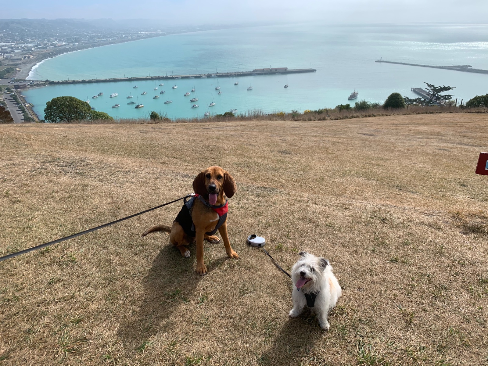
Waitaki District Council names Cape Wanbrow as a designated off-lead dog exercise area, which makes this circuit of the headland above Oamaru Harbour an unusual thing on this coast: a walk where a dog can run, provided it stays under effective control. The loop starts at Lookout Point Reserve at the top of Tamar Street, runs out east along the main clifftop track, then turns back west along the southern rim to close at the lookout. It is shared ground with the mountain bike lines the whole way, so listen for riders and call your dog in early. Three limits ride with the off-lead permission and none of them bend. The coastal strip between the commercial Oamaru Penguin Colony and Bushy Beach is a prohibited dog area. No dog goes within 10 metres of an identified protected wildlife colony. And the Bushy Beach Scenic Reserve on the southern side is DOC land where no dogs are allowed at all, which is why the mapped line stops well short of it. This is little penguin and hoiho country, so the loop deliberately holds the cape top, about 120 m clear of the reserve boundary and close to 300 m from the penguin colony. Carry a lead even when it is not on the dog: the council requires one in every public place. Where the lead goes back on. Waitaki District Council's dog bylaw map, the map the bylaw itself points to as the detailed source, shows this loop running out of the off-lead area at both ends and once in the middle: about 730 m of its 1830 m. The climb up and the walk back down sit in an on-lead street zone, and a stretch of roughly 300 m along the southern rim falls outside every mapped zone, which under Schedule 1 of the bylaw makes it on-lead by default, since all public areas are on-lead unless Schedule 2 names them. The clifftop ground in between, the part the council actually names as Cape Wanbrow, is where a dog can run. Poo bags are provided: the council's asset register lists one doggy doo bag dispenser on the cape, in service at the Test Street entrance near the start of the loop. Inge and Pip put us onto the walk in August 2026, and the way they do it is the right way: park at the lookout, drop down through the reserve and climb back up, and the sea opens out wide along the southern rim.
Graded easy, it climbs about 62 m overall, and takes about 28 min to walk.
Dogs are welcome here. This walk is on the map because Lauryn & Tui suggested it, and we checked it against the source above.