Grovers Hill Track
Roxburgh · Otago
This walk was suggested by the community and checked against the authority quoted above before it was published. The route line comes from official track data. The rule-setter’s own wording: “Dogs on a lead. Central Otago District Council sets the district default in its Dog Control Bylaw 2020 at clause 4.1.1, verbatim: "Dogs are permitted off Leash in Public Places, designated Exercise Areas and Dog Parks unless otherwise specified that dogs must be on Leash or that dogs are prohibited from the area, as required by the Act or this bylaw." Grovers Hill appears in none of that bylaw's schedules. The only Roxburgh entries anywhere in it are "Roxburgh Town Centre" in the clause 4.5.1 list of On Leash Areas, and "Vacant land, Cheviot Street below the bridge" in the prohibited list. What settles this track is the bylaw's own definition, "On Leash Area means any area designated by Central Otago District Council where dogs are permitted on Leash only", because the designation can be made on the ground. Inge, who sent the walk in, remembers a dogs on lead sign at the track, and the published track notes for Grovers Hill say the same, "Dogs: Yes, on a leash". The route also crosses grazed paddocks through stock gates. Two records of a sign, a bylaw that defers to it and sheep on the hill all point one way, so we publish this on lead”. Evidence: the rule-setter’s own published wording. How we check dog rules.
Good to know
Dogs are allowed here. Keep them on the lead, watch for ground-nesting birds and stock, and read the signs at the gate.
About Grovers Hill Track
Near Roxburgh in Otago, Grovers Hill Track runs 2.6 km.
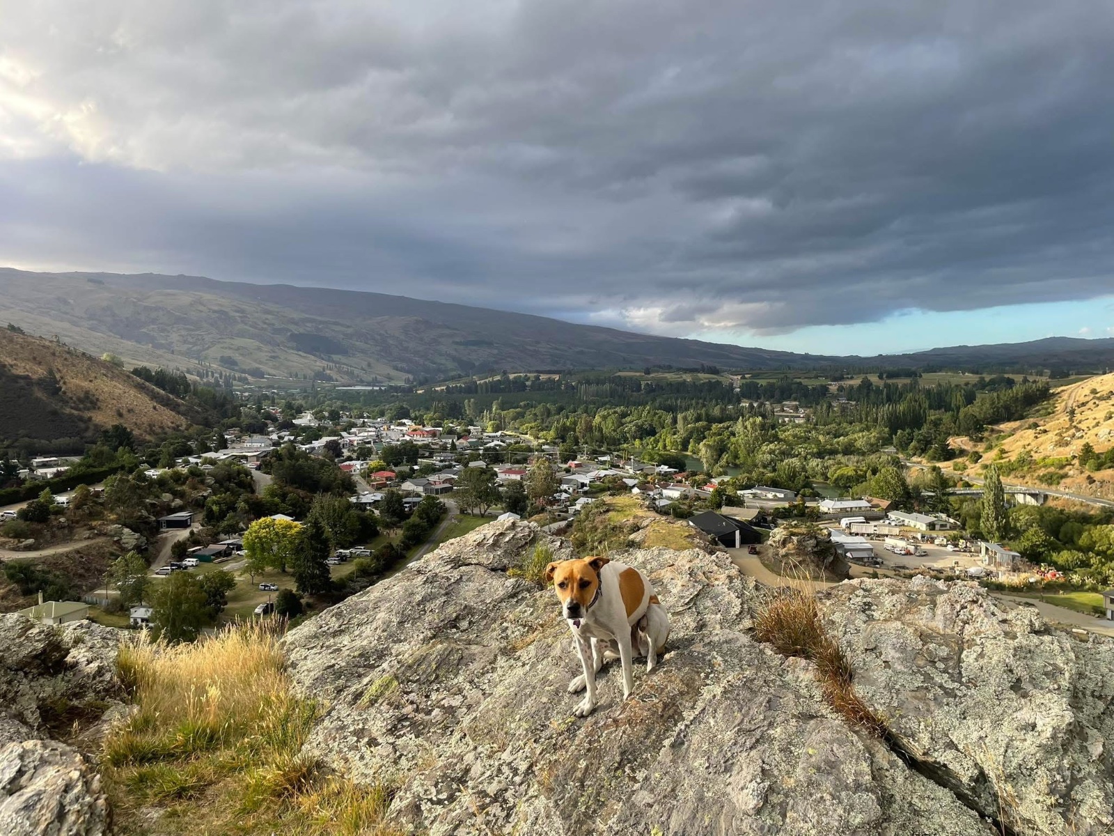
The hill walk straight out the back of Roxburgh, and the reason to do it is Frog Rock. The track climbs about 100 m onto the terrace above the town and brings you out on top of a vertical bluff looking down over Roxburgh, the Clutha and the length of the Teviot Valley. It is a lollipop rather than a there and back: a short stem up from Teviot Street, then a loop around the hill that rejoins itself, so you come back a different way from the way you went up. We make the marked track 2.7 km, which is about an hour at a walking pace with stops at the top. Start on Teviot Street, where Inge points out the parking and the signpost. The marked trail begins by the dump station and drops down a driveway before a gate puts you onto grassy track, and from there yellow markers do the navigating. The climb is short and the surface is farm ground rather than formed path, so it is honest going in the wet and there is very little shade anywhere on it. Central Otago summer afternoons are no joke on an open hillside, so carry water for the dog as well as yourself. The lead stays on for all of it. Roxburgh is not one of the places the council names as an on lead area in its dog bylaw, but the bylaw lets a sign on the ground do the designating, and there is one here. The more practical reason is underfoot: the loop runs through grazed paddocks and you go through stock gates to do it, so a dog off the lead on this hill is a dog among sheep. Shut the gates behind you. If you want the longer version, the marked route actually starts down in town at King George V Memorial Park and comes up Berwick, Liddle and Teviot Streets to the trailhead, which makes about 3.6 km all up. We have drawn the track itself rather than the street approach, so add roughly a kilometre if you park in town. The Clutha Gold Trail runs along the river below if you want to make a bigger day of it.
Expect easy going, with around 80 m of climb, and takes about 39 min to walk.
Dogs are allowed here, on the lead. This walk is on the map because Inge & Pip suggested it, and we checked it against the source above.