Mount Haast Route
Reefton · Canterbury
This walk was suggested by the community and checked against the authority quoted above before it was published. The route line comes from official track data. DOC’s own wording: “Dogs with a DOC permit only. Contact closest DOC office to get a permit. Other pets on conservation land rules. (DOC, Mount Haast Route page; Victoria Forest Park is permit country across the board, and the page says to arrange the dog permit with the Māwhera / Greymouth office.)”. Evidence: the rule-setter’s own published wording. How we check dog rules.
Good to know
A DOC dog permit is required before any dog walks here. DOC codes this land for the hunting-dog permit, so it is not a casual dog walk. Ask the DOC office before planning to bring a dog.
Opens your email app, addressed to [email protected]. You can also call DOC on 0800 275 362.
About Mount Haast Route
Mount Haast Route covers 2.3 km, near Reefton in Canterbury.
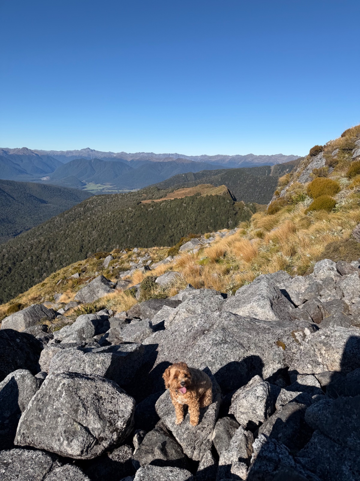
The fastest way to the bushline from Reefton, in DOC's own words, and the summit beyond it is one of the best short alpine days in Victoria Forest Park. From the signposted carpark beside the Upper Inangahua Bridge on SH7, just north of the Rahu Saddle, the route climbs very steeply for about two hours on a well formed line to the bushline, then follows the right-hand ridge for another hour to the pyramid shaped peak of 1587 m Mount Haast, with big views over the glacial valleys of the Victoria Range and across to the Main Divide. DOC calls it 6 hours return and grades it an expert route; Dre, who sent this one in with Hazel, confirms the DOC signposting at the road. The dog rule is DOC's permit rule for Victoria Forest Park: dogs with a DOC permit only, arranged before you go, and the route page says to sort it with the Māwhera / Greymouth office. The whole climb is conservation land, from the Rahu Scenic Reserve at the highway to the forest park above, so a dog there without the permit is an offence rather than a risk worth taking. This is a marked backcountry route, not a benched track: the line on our map follows DOC's route line and is indicative above the bushline, where poles and cairns do the navigating. Save it for a clear day, both for the views and because the ridge is no place to be guessing in cloud, and carry plenty of water, the climb is relentless and there is none on the ridge.
It sits at the expert end and gains roughly 851 m, and takes about 1 hr 52 to walk.
A DOC dog permit is required before any dog walks here. Arrange it with the managing DOC office ahead of your trip. This walk is on the map because Dre & Hazel suggested it, and we checked it against the source above.