Horseshoe Lake Red Zone Loop
Christchurch · Canterbury · Loop
This walk was suggested by the community and checked against the authority quoted above before it was published. The route line comes from official track data. Christchurch City Council’s own wording: “Dog Control Policy and Bylaw 2025, Ōtākaro Avon River Corridor: "Dogs must be leashed to protect wildlife and aid habitat restoration, except in mown areas and on former roads, where dogs may be off-leash and under effective control." The council adds that dogs must be leashed on paths, and that the leash rule for roads does not apply to former roads closed to motor vehicles”. Evidence: the council’s own mapped rule zone. How we check dog rules.
Good to know
Dogs are allowed here. Watch for ground-nesting birds and stock, and read the signs at the gate.
About Horseshoe Lake Red Zone Loop
Horseshoe Lake Red Zone Loop is a loop of 2.4 km, near Christchurch in Canterbury.
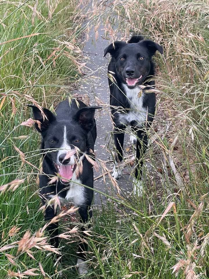
A loop around the Burwood residential red zone beside Horseshoe Lake, where a whole neighbourhood came down after the earthquakes and the streets stayed behind. You walk old Kingsford Street and its side streets with the kerbs, lamp posts and driveway crossings still in place and nothing behind them but mown grass, which is a strange and rather lovely place to walk a dog. Megan, who sent this one in with Albie, walks it along the abandoned streets and the mown track around the edge, and that is exactly the line we have drawn. From the end of Broomfield Terrace the loop runs anticlockwise: up the mown edge track along the Horseshoe Lake Reserve boundary, around the top of the old street grid, down the eastern edge with the wetland on your left, then back along former Goodman Street and Kingsford Street to the start. It is flat the whole way, about 2.4 km, and nothing here is formed track beyond the old asphalt itself, so expect long grass at the edges after rain. The dog rule is the council's own carve-out for this corridor: off lead under effective control on the mown areas and the former roads, which is nearly all of this loop, with a leash needed on any formed path. Horseshoe Lake Reserve itself, over the boundary to the north and west, is a different rule entirely: dogs are prohibited off the walkways there to protect the wetland birdlife, and must be leashed on them, so keep your dog on the red zone side unless the lead goes on. The birdlife does not read the boundary signs, and pūkeko and waterfowl wander the mown grass, so effective control has to mean exactly that.
It sits at the easy end and gains roughly 5 m, and takes about 28 min to walk.
Dogs are welcome here. This walk is on the map because Megan & Albie suggested it, and we checked it against the source above.