Mikonui Valley to Mikonui Flat Hut
Ross · West Coast · Point to Point
This walk was suggested by the community and checked against the authority quoted above before it was published. The route line comes from official track data. DOC’s own wording: “Dogs with a DOC permit only. Contact closest DOC office to get a permit. Other pets on conservation land rules. (DOC, Mikonui Catchment - Dickie Ridge/Upper Tuke River Route page; the permits for this valley come from the Hokitika or Franz Josef DOC offices, and DOC's track records list the permit here as the hunting-dog kind.) Some of the route passes through private property on the flats, where DOC says permission should be obtained from the landowner”. Evidence: the rule-setter’s own published wording. How we check dog rules.
Good to know
A DOC dog permit is required before any dog walks here. DOC codes this land for the hunting-dog permit, so it is not a casual dog walk. Ask the DOC office before planning to bring a dog.
About Mikonui Valley to Mikonui Flat Hut
Near Ross in West Coast, Mikonui Valley to Mikonui Flat Hut runs 3.2 km as a point-to-point.
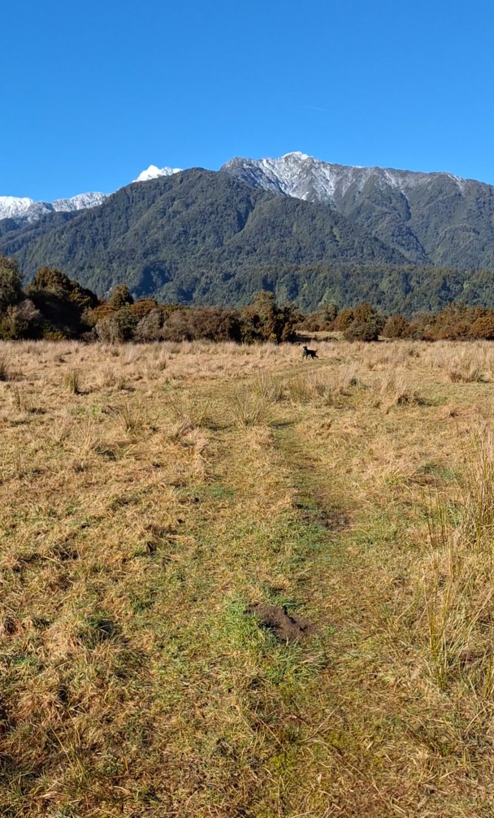
The Mikonui is the quiet valley south of Hokitika that West Coasters keep for themselves: turn east off SH6 just north of Ross into Totara Valley Road, wind over the low Totara Saddle, and the road ends on the Mikonui River flats about 20 minutes from town. Lea, who sent this one in, made the drive in a 2WD with decent clearance; the road varies, so check conditions with Westland District Council if it has been wet. This page maps the first leg of DOC's Mikonui Catchment route: road end to Mikonui Flat Hut, about 3.2 km each way, which DOC times at an hour to an hour and a half one way. From the car park you stay on the true right and travel upstream to a well benched track that sidles around a terrace and drops back onto the river flats, then follow marker poles with orange triangles past the old homestead to the Mikonui riverbed. Upstream of the Mikonui and Tuke confluence the route crosses the river, usually split into two or three channels there, to the flats on the true left, and the poles lead on to the hut, a standard six-bunker on the forest edge. The dog rule is DOC's permit rule: dogs with a DOC permit only, arranged with the closest DOC office, which for this valley means Hokitika or Franz Josef. Sort the permit before you drive out, there is nobody at the road end to issue one, and DOC treats a pet on conservation land without permission as an offence, vehicle included. Two more things shape the day. A stretch of the flats mid-route is private property: DOC's own route description says permission to cross should be obtained from the landowner, and the track page carries the phone number, so make that call when you arrange the permit. And there is stock grazing on the flats, Lea's report and DOC's old-homestead wording agree, so the dog stays close and controlled through the farmland no matter what the permit allows elsewhere. The river crossing is the honest limit of the walk. It is unbridged, the Mikonui is a proper West Coast river, and it rises fast in rain; if the channels are high or discoloured, the riverbed at the confluence is the turnaround and the hut waits for another day. The hut itself is first come, first served, no cooking equipment and no kennels, so an overnight party must be self sufficient and the dog sleeps outside, bring a way to secure it. Beyond the hut the route carries on up Dickie Spur and the upper Tuke toward multi-day country for experienced trampers; this page ends at the hut. No current 1080 or pesticide operations are listed for this valley on DOC's alerts or pesticide maps as of August 2026.
It sits at the easy end and gains roughly 84 m, and takes about 46 min to walk.
A DOC dog permit is required before any dog walks here. Arrange it with the managing DOC office ahead of your trip. This walk is on the map because Lea & Tui suggested it, and we checked it against the source above.