-44.56103, 170.19757
On-leadModerate

Mount Benmore Peninsula Track

Otematata · Canterbury · Out & Back

0.511.522.534.0 km543 m
↑ 167 m gain↓ 166 m descenthigh 543 msteepest 26 %
DISTANCE4.0 km
ASCENT167 m
DURATION1–1.5 hr
STEEPEST26 %
ROUTEOut & Back
RATING · HIKERS 4.8 · 33
DOG EFFORT3.1 /5 paws
PARKING240 m away
Nearest emergency vetRemarkable Vets (Queenstown) - 24hr emergency, Queenstown~145 min drive · 24/7
03 442 1411
The route

Good to know

On the lead here. Keep it to two metres or less and watch for ground-nesting birds, as on most NZ tracks.

Lake swimForest shadeA popular track, busy on weekends
Check the water before the dog swims. Toxic algae blooms in NZ rivers and lakes can kill a dog within hours. Scan the LAWA water quality map in warm months and keep dogs away from dark slime on rocks.

About Mount Benmore Peninsula Track

Near Otematata in Canterbury, Mount Benmore Peninsula Track runs 4.0 km as an out-and-back.

It sits at the moderate end and gains roughly 167 m, pitching up to 26 % at its steepest, and takes about 1–1.5 hr to walk.

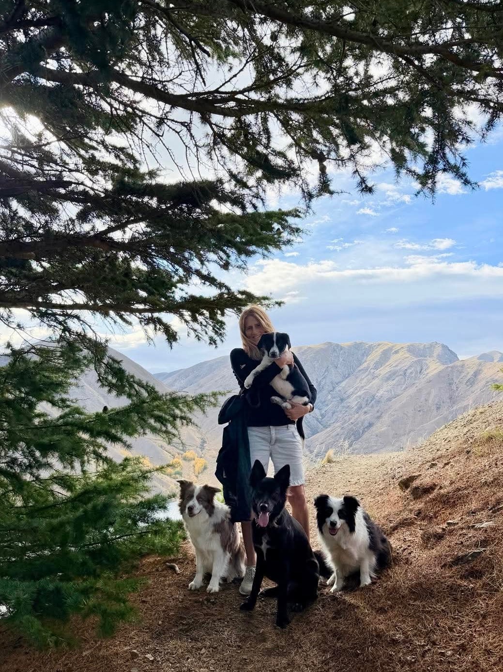
The track takes in native forest, lakeside stretches, and big views. Dogs are welcome here on the lead. Hikers rate it 4.8 / 5 across 33 reviews.
Stay nearby

Dog-friendly DOC campsites close to the trailhead, sort out the sleep, then walk.

Quick answers

Frequently asked questions

Can my dog go off the lead on Mount Benmore Peninsula Track?

Dogs are welcome on Mount Benmore Peninsula Track on a lead. Keep the lead at two metres or less and watch for ground-nesting birds.

How long is Mount Benmore Peninsula Track?

Mount Benmore Peninsula Track is 4.0 km with roughly 167 m of climb and takes about 1–1.5 hr.

Is there water for my dog to swim on Mount Benmore Peninsula Track?

Yes, the track has lake access where a dog can cool off. In warm months check the LAWA water quality map for toxic algae warnings first.

Are there dog-friendly campsites near Mount Benmore Peninsula Track?

Yes. The closest is Homestead Campsite, about 34 km away, and the track page lists more under Stay nearby. Every campsite shows its dog rules.

Hikes nearby

The closest dog-friendly tracks to this trailhead, by straight-line distance.

ModerateOtematata
4.0 km↑166 m1–1.5 hr★4.7 rating
Swim spot
Dog verdict: On-lead. Difficulty: Moderate.
ModerateTwizel
1.4 km↑69 m★4.5 rating
Good with kids
Dog verdict: On-lead. Difficulty: Moderate.

More in Canterbury

HardLyttelton
5.5 km↑431 m2.5–3 hr★4.3 rating
Shade
Dog verdict: On-lead. Difficulty: Hard.
EasyChristchurch
0.6 km↑0 m0.5–1 hr★4.6 rating
Good with kids
Dog verdict: On-lead. Difficulty: Easy.
HardSheffield
5.1 km↑782 m★4.4 rating
Dog verdict: On-lead. Difficulty: Hard.
Easy
1.1 km↑85 m21m
Dog verdict: On-lead. Difficulty: Easy.

See every dog-friendly track in Canterbury →

Log this hike+103 XP

Save and Been here stay on this device, no account needed, and show up on your hikes. Logging on the live map plants Banks’ paw on the trailhead and awards XP.